
An engineering survey is always the first step in the construction of a highway. With tools like an auto-level or leica station Dubai engineering companies create highway projects with great precision and in-depth surveys.
Any construction for a highway or road always uses the following steps in engineering surveys:
Step 1: Construction Engineers Study a Map
Before a highway route can be pinned down, engineers always study maps to look for ideal locations and to see if there are any topographical features or obstacles that may not be ideal for a highway.
Engineers would need to study pre-existing maps procured from the government or from public institutions. These maps should have contour interval ranges of at least 30 meters for them to be used in a highway engineering survey.
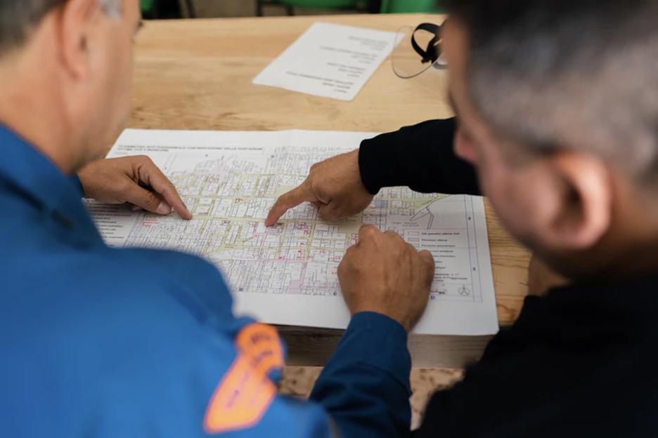
Step 2: Survey Team Visits Location
Once the construction team has studied the map, they will pick out an ideal location for a highway route. Once the team picks out the route, they will need to visit the actual location or construction route for a quick overview of the land.
In this overview, the team might lookout for the following features:
1) Route alternatives: All teams must look for alternative routes for the highway system and for diverging routes to other locations.
2) Road alignment: Roads must always be perfectly aligned and level, a factor that engineers take note of in their location surveys.
3) Topography: Sometimes, the team will need to take note of topographical features not listed on maps.
Step 3: Team Conducts Initial Survey
In this step, the team usually takes aerial photographs to figure out more details of the route and to determine the optimal road alignment techniques and levels for the chosen highway route.
An aerial survey will let the team know the location better and figure out the next steps of the survey and which types of information are needed for the highway’s construction phase.
For instance, if there are towns along the highway or if there are water bodies along the route, the team will need to include a population or hydrology survey in their full engineering survey.
Step 4: Team Conducts Detailed Survey
The final steps of the engineering survey involve a location and then a very detailed survey of the highway route.
The location survey involves measuring the highway’s centerline, placing pegs at the highway route’s control points (for instance, wherever there are curves), and placing benchmark posts after every 250 meters on the route and wherever there is cross-drainage.
The detailed survey is the last leg of the journey where the team does the final reporting and creates a land profile, performs soil investigation, attributes CBR values for pavements, and cross-sections, designs, and performs estimates for the design of the highway.
Contact Us
With Rise Geo, you will get the high-quality engineering survey solutions you need to get your project off the ground. Whether you are building a skyscraper or a stretch of highway, we are there to help. Contact us today!